 The Portland, Oregon region, in many regards, is ahead of the curve when it comes to active transportation. The “Bike Bill” (ORS 366.514), passed more than 40 years ago by the Oregon Legislature in 1971, requires the inclusion of facilities for pedestrians and bicyclists wherever a road, street or highway is built or rebuilt.
Resource Library
This report describes relationships between transportation policies and plans and health and potential to implement policies that make transportation more healthy, green, safe, accessible and affordable.
 There were two significant developments this month in Washington D.C for Safe Routes to School. First, the U.S. Department of Transportation (USDOT) released its proposed rule addressing safety on our roads.
Transportation for America wrote the report to highligh strategies and investment opportunities to preventable pedestrian deaths.
This research synthesis examines studies indicating that racial and ethnic minorities and lower-income people live in communities that do not provide as many built and social environmental supports for physical activity and are not as supportive of physical activity.
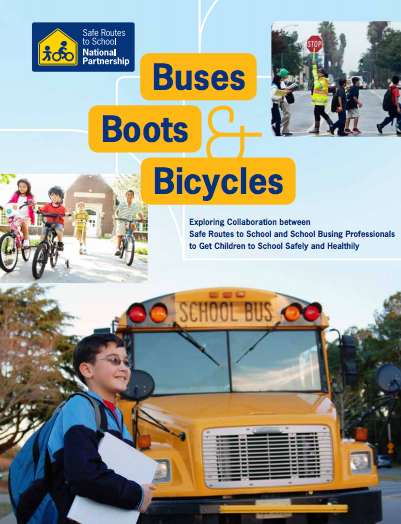
 Today, most student transportation departments around the country focus primarily on getting students to school on yellow school buses. But student transportation isn’t just about school buses. Students are also getting to school by foot, bicycle, car, and public transportation.
This policy statement highlights how the built environment of a community affects children’s opportunities for physical activity. Neighborhoods and communities can provide opportunities for recreational physical activity with parks and open spaces, and policies must support this capacity.
 This month many children are heading back to school. Like many children and parents at this time of year, I am excitedly nervous -- excited about the beginning of a new school year, and slightly nervous about the challenges that lie ahead.
More than 100 jurisdictions at the state, local, and regional levels have adopted Complete Streets policies. NPLAN has surveyed existing law, conducted extensive legal research, and consulted with legal and policy experts to create these model laws for Complete Streets.
 When I came to the Safe Routes Partnership more than a year and a half ago, I was encouraged by our founder Deb Hubsmith to do two things. First, find every way to raise the drum beat of equity in my work, and second, read profusely to gain best practices and tactics to push progress forward.
Each state DOT is required to develop a data-driven Strategic Highway Safety Plan for programming their Highway Safety Improvement fund. Some of this funding can be spent on bicycle and pedestrian safety for school children.
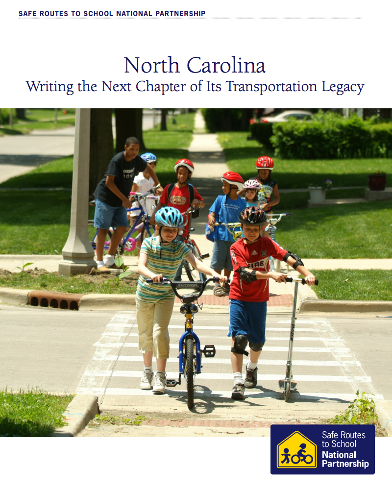
 This week, the Safe Routes Partnership published a new report, “North Carolina: Writing the Next Chapter of Its Transportation Legacy." The report is being released as the newest NC General Assembly convenes i
Using California as a “meta case,” this research report establishes an empirical understanding of the full range of joint use and how specific strategies fit into a larger picture of more efficiently and appropriately utilizing public school spaces for educational and community purposes.
The Safe Routes Partnership is pleased to support the For Every Kid Coalition in the Pacific Northwest region. For Every Kid is a growing coalition calling for Safe Routes to School for every kid in the Metro-area; vocal support from cities and school districts is an outcome of key partners coming together to promote the benefits and work with communities and we have been an active part of the leadership of this effort.
Local leaders agree: creating safe options to walk, bike, or ride the bus to school is critical to improving the health of kids.
 If you have been following our federal transportation updates for a while, this update may sound a bit like Groundhog’s Day. Yet again, Congress has voted to extend the MAP-21 transportation law and yet again, lack of funding is the culprit.
This report summarizes discussion and findings from the 2005 National Summit on School Design.
 This summer has been a busy one for transportation. In addition to the late June committee consideration of the DRIVE Act, both the House and Senate are moving forward on transportation.
This website describes the initiatives of the Rural School and Community Trust, which is a national nonprofit working toward high-quality place-based education in rural settings through school and community connections.

